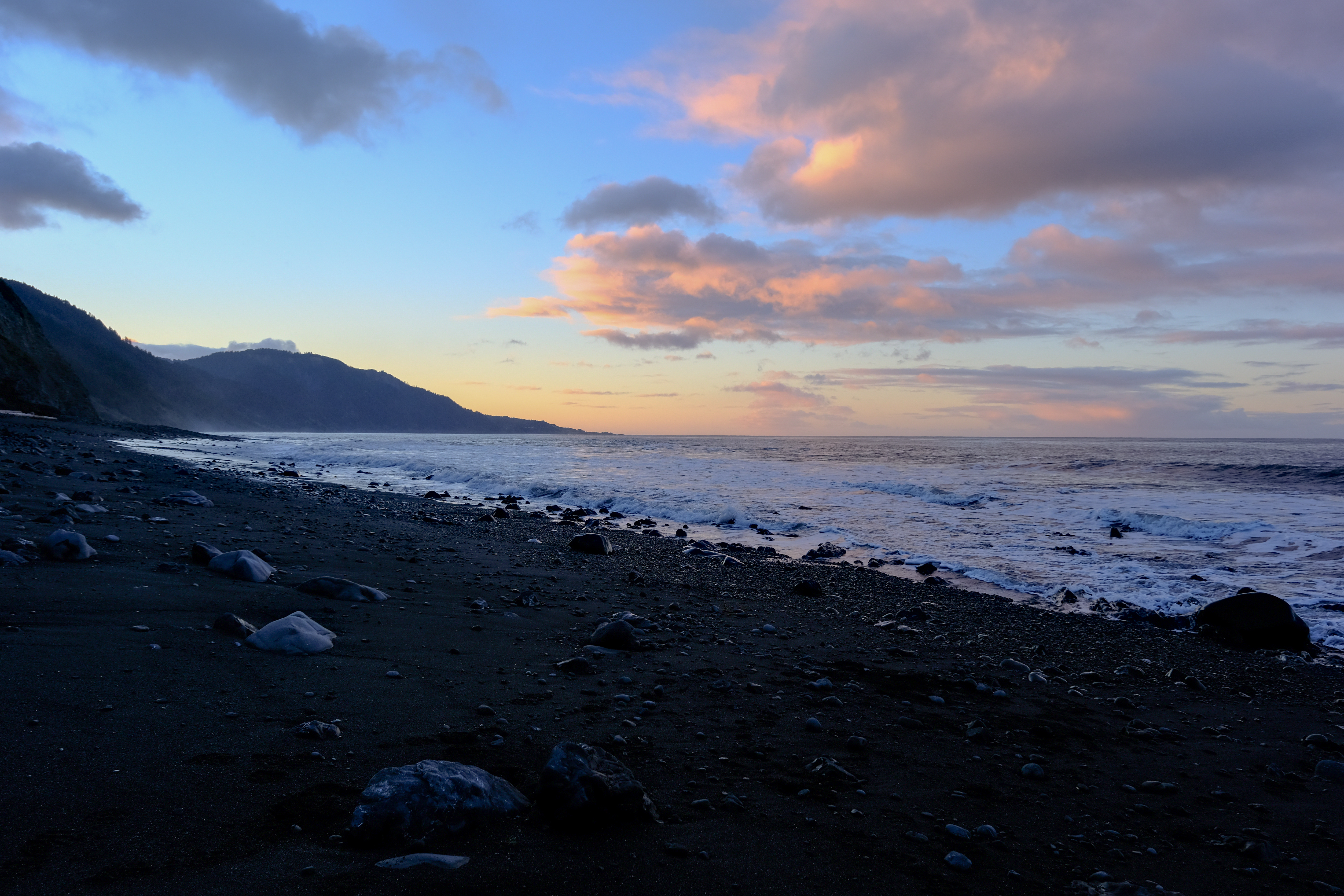
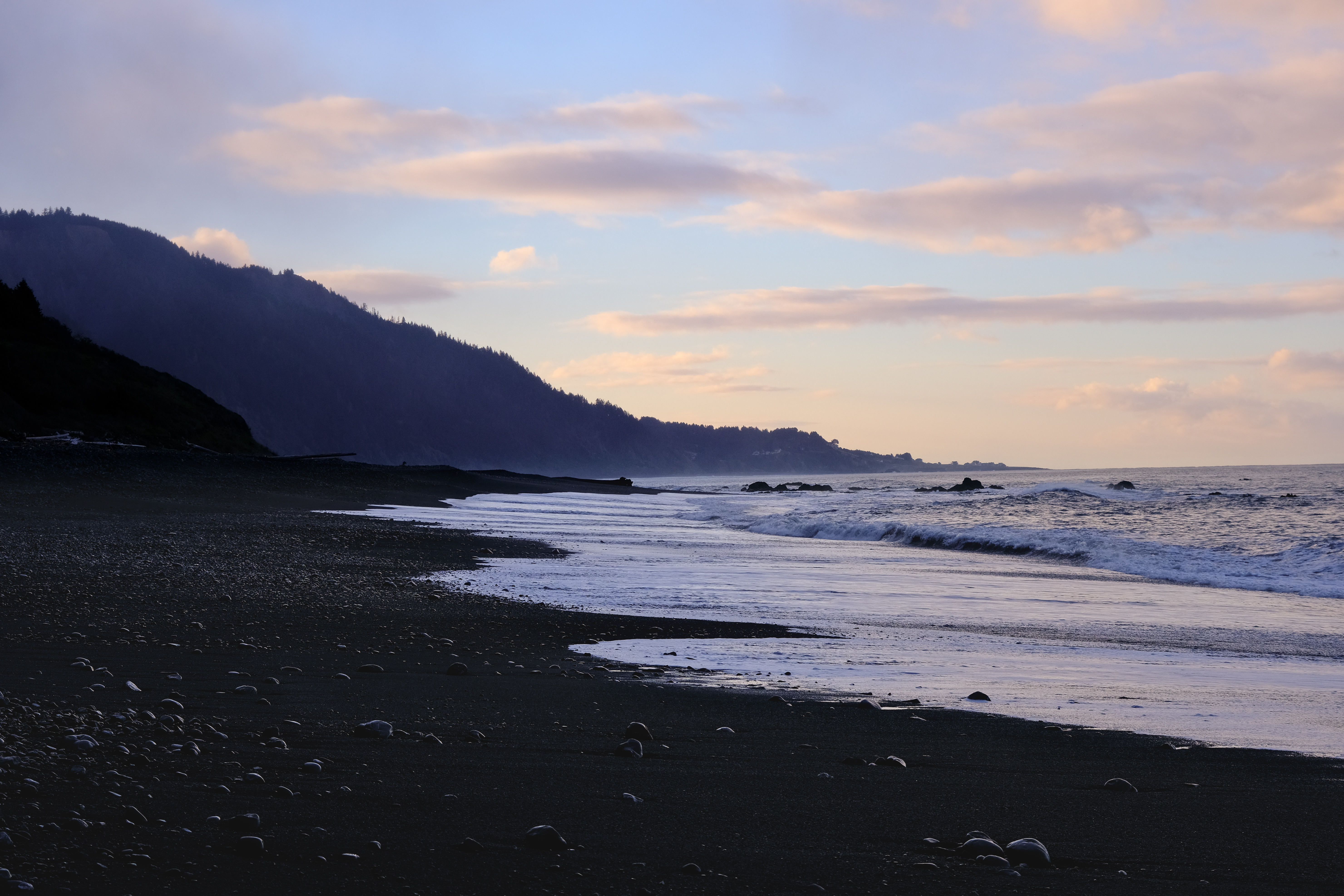
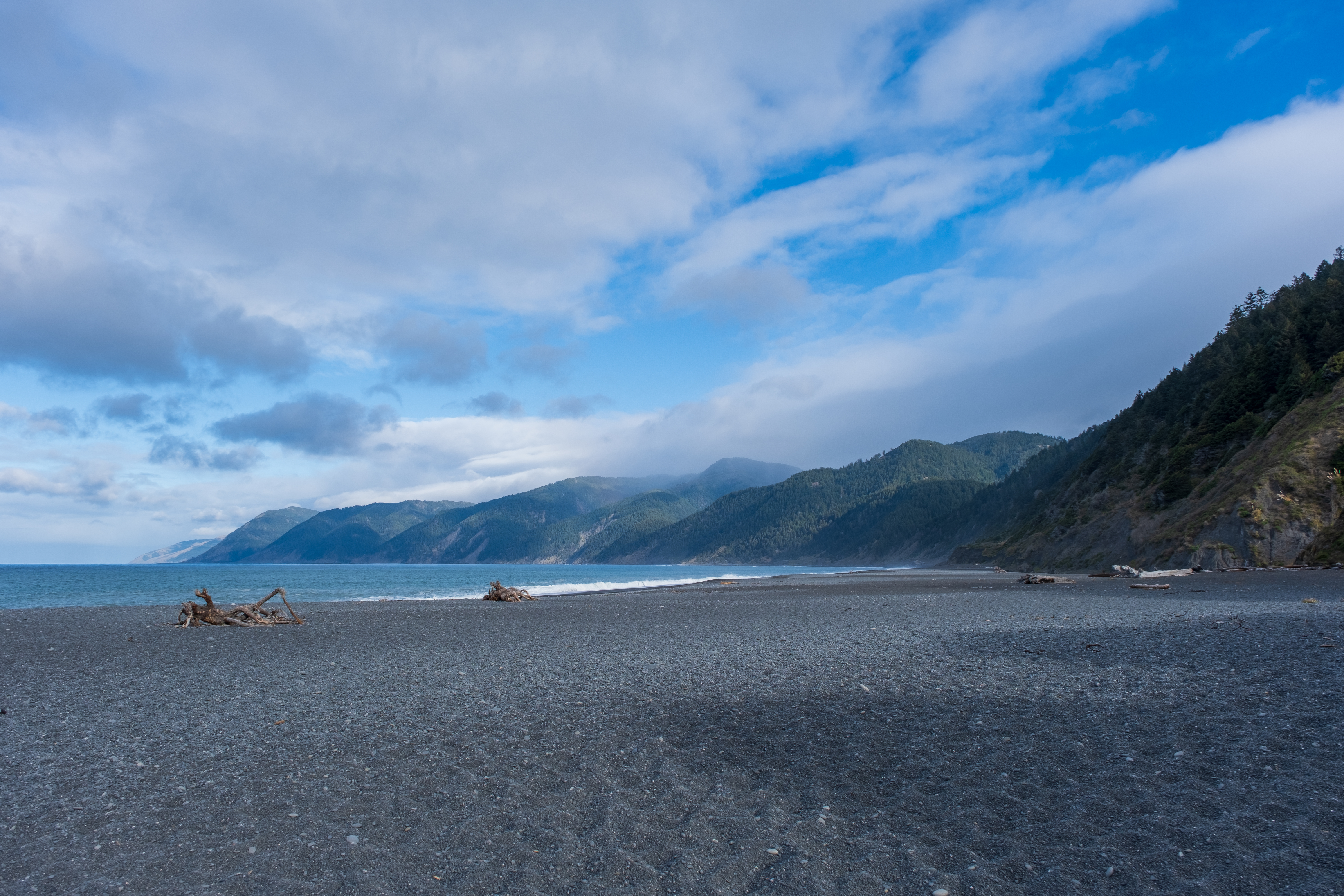
About 25 miles, we were anticipating for the trail to take longer than it did, finishing our plans before noon each day. It’s not strictly necessary to follow the tide charts, but it’s definitely safer to do so in some areas like the last intertidal zone. It’s quite level the whole way, but walking on rocks that are a bit larger your heel are probably the worst kinds of rocks to walk on, since you have to place your feet carefully. My best pictures were taken on our (third) last day during sunrise, the colors were just astounding on the black sand beaches.